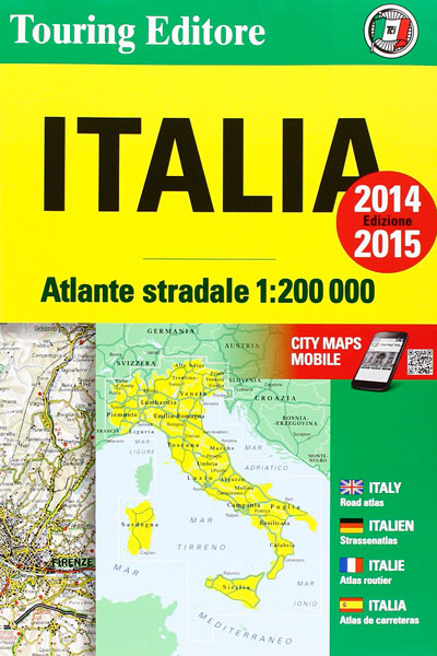
Description
(Note: The 2014/2015 version is the latest version of this impressive and very accurate map)
If you travel by car in Italy, this is the map for you.
This English-language map covers All of Italy, top to bottom (including islands). It packs easily in your suitcase and is large enough so you can really see where you’re going. I use these maps for planning out the shortest routes while traveling in Italy.
“But Michael, why don’t I just use Google Maps in Italy?”
While Google Maps is a great option for mapping your travels in advance, to access it in Italy you’ll need a dataplan for your Smartphone or iPad — which can be very costly. The Atlante Stradale maps are the cheapest option for great maps.
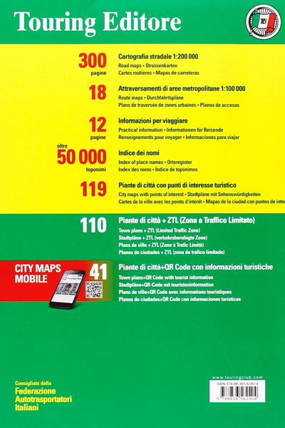
The map includes details on:
- The entire highway network of Italy
- 12 pages of detailed information on traveling in Italy
- Map marks for all exits, toll barriers, distances progressive mileage, service areas with shops (think Autogrill), nearby motels, natural gas filling stations and other services
- Big, detailed road maps with a 1:200,000 scale (the minimum you need to adequately drive around Italy)
- 18 regional maps with zoomed-in scale of 1:100.000
- 110 detailed city maps to help you navigate around Italy’s most popular cities.
- Master index of all cities and road distances between provincial capitals


